New members welcome. Join today!
Become a Member
Login
1
×
Australian Diesel Scene 4
1 ×
$
25.00
Subtotal:
$
25.00
View cart
Checkout
Home
About
Fundraising Appeal
Donate Now
News
Governance
Branches
Links
Contact
Membership
Join
My Account
FAQs
Members Meetings
Newsletters
Volunteer
Bookshop
Online Shop
Second Hand Books
Merchandise
Archives
Magazines
Railway Digest
Australian Railway History
Advertising
Events
Railway Tours
Railway Luncheon Club (Sydney)
Luncheon Outing Group (Melbourne)
My Account
Products
ARHS NSW
>
Products
>
Pictorial History – Wollongong
“Australian Diesel Scene 4” has been added to your cart.
View cart
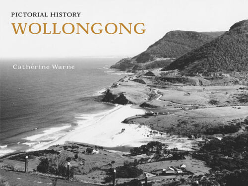
Pictorial History – Wollongong
$
25.00
inc. GST
In stock
Pictorial History - Wollongong quantity
Add to cart
SKU:
9780908272921
Category:
Books - Australia & New Zealand
Additional information
Additional information
Weight
0.75 kg
Dimensions
21 × 30 × 1 cm
Related products
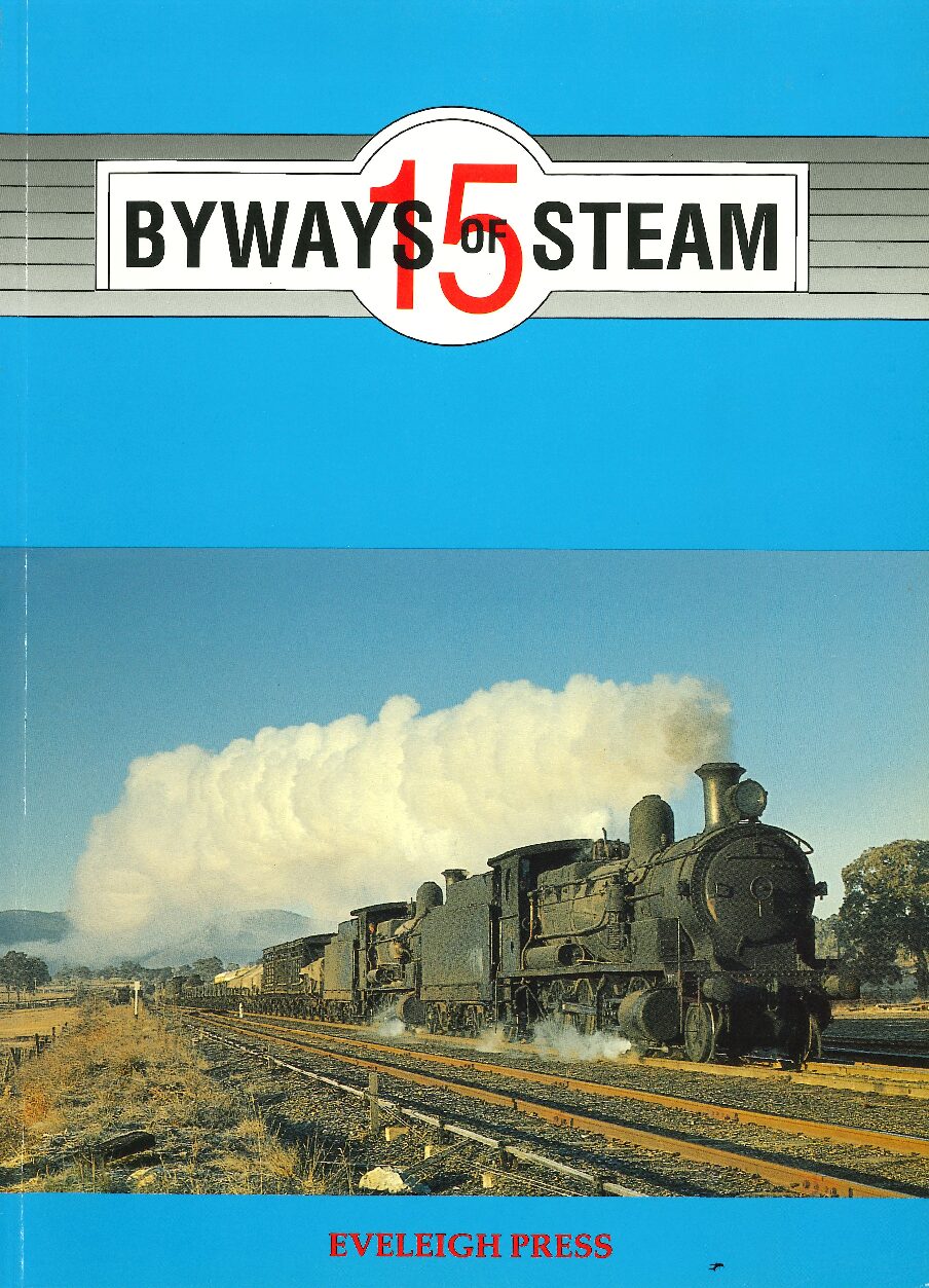
Byways of Steam 15
$
40.00
inc. GST
Add to cart
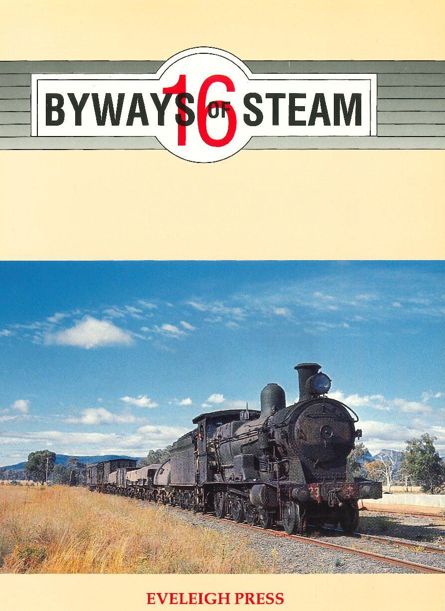
Byways of Steam 16
$
40.00
inc. GST
Add to cart
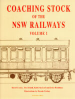
Coaching Stock of the NSW Railways
$
110.00
inc. GST
Add to cart
Australian Diesel Scene 5
$
25.00
inc. GST
Add to cart
×
Your ticket for: Pictorial History – Wollongong
Title
Pictorial History – Wollongong
AU$
 Australian Diesel Scene 4
1 × $25.00
Australian Diesel Scene 4
1 × $25.00